
17 flood relief camps made operational in Lahore division
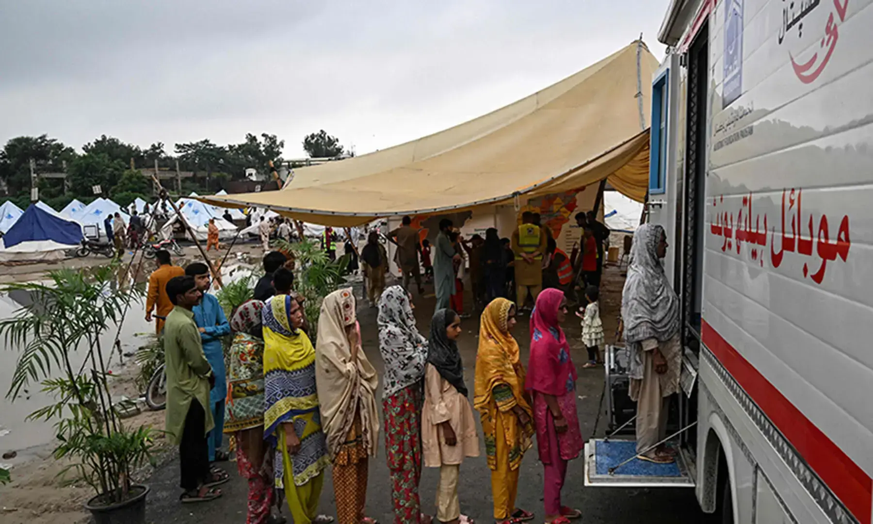
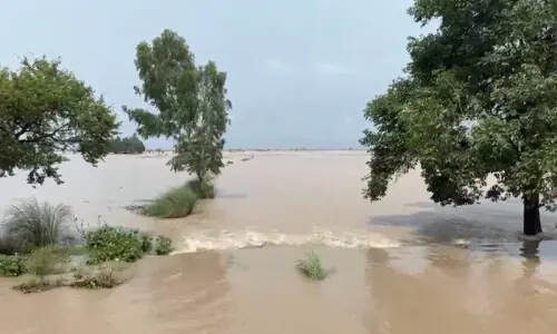
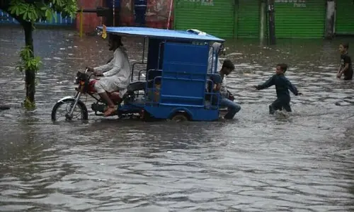
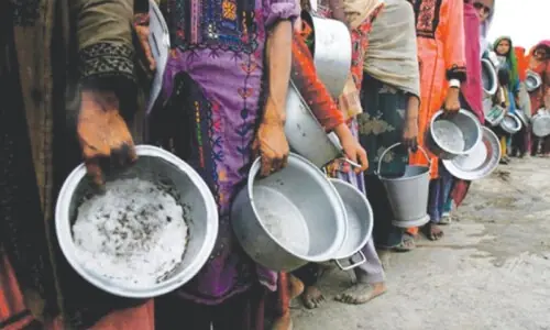
LAHORE: As many as 17 flood relief camps have been made operational in the Lahore division with more sites identified for setting up additional camps if required.
According to a report issued by the Lahore Commissioner office, one relief camp had been setup in Lahore at the Govt Boys High School, Maraka near the Hudiara Drain in Raiwind tehsil, whereas three camps were made operational in Sheikhupura district including two at Narang and one at the Govt Haroon Pilot School, Sharaqpur.
Moreover, 13 camps have been set up at Nankana Sahib district and as many as 59 people have been evacuated from the flood-affected areas of the district. However, no camp has been made operational in the Kasur district so far.
The administration has also identified dozens of sites for setting up relief camps in all four districts of the Lahore division — Lahore, Kasur, Sheikhupura and Nankana Sahib, and allocated necessary material, staff and other resources in view of the flood situation.
Dam reservoir analysis dashboard to monitor situation in Indian dams
Separately, the irrigation department has set up an AI-based dam reservoir analysis dashboard, an intelligent decision-support platform developed to enhance reservoir monitoring and water resources management through the integration of satellite remote sensing, geospatial analytics, and AI.
The dashboard enables near real-time monitoring of reservoir conditions by providing the reservoir water spread area analysis, live storage estimation and historical comparison, water-level and storage trend analysis, catchment rainfall monitoring, multi-temporal satellite imagery comparison and interactive charts and analytics for informed decision-making.
One of the key strengths of this platform is its ability to continue providing valuable reservoir analysis even when direct access to official dam information is unavailable.
By leveraging freely-available satellite imagery and AI-driven processing techniques, the dashboard delivers consistent and reliable insights for reservoir assessment.
“Since India is not sharing flood and river flows related data with Pakistan, it is a very efficient system to check the water situation in Indian dams through satellite imagery.
Though, through this way, we don’t get confirmed information, but we can get some data to check and update our information and issue alerts for further arrangements,” explained a senior official of the irrigation department while talking to Dawn on Sunday.
Published in Dawn, July 27th, 2026