
South Korean military to integrate satellite, geospatial data


South Korea’s military is moving to build an artificial intelligence-powered platform that integrates and analyses national geospatial and satellite data, in a bid to enable more data-driven operations across the battlefield.
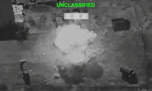
The envisioned system would support the full operational cycle — from intelligence, surveillance and reconnaissance to target identification, situational awareness and battle damage assessment — by applying AI to large volumes of spatial and imagery data.
According to military officials, the Army recently commissioned a research project on an “AI-based platform for utilising national geospatial information.” The project focuses on designing the core concept and architecture of an integrated platform for future military operations.
The initiative comes as the operating environment for geospatial intelligence rapidly evolves, driven by advances in commercial satellite resolution, the expansion of civilian small-satellite constellations and improvements in AI-based image analysis.
While the military already has access to a range of spatial and satellite data, officials said the lack of integration for operational use has driven the push for a unified platform.
Through the study, the Army plans to propose a platform structure that automates the collection, processing, analysis and visualisation of geospatial and satellite data, while ensuring compatibility with existing military command and control networks.
The research will also include developing AI models capable of automatically detecting changes in specific areas, as well as building a web-based prototype service platform.
The Army expects the system to improve the accuracy of target identification and situational awareness, while speeding up operational response times. The broader goal is to consolidate data that has been used in isolation into a unified decision-making tool.
A military official, speaking on condition of anonymity, said the project reflects a broader push to incorporate commercially driven advances in geospatial and AI technologies into military operations.
“However, significant challenges remain before full deployment,” the official said, citing technology validation, security concerns and integration with existing systems.
Published in Dawn, April 20th, 2026